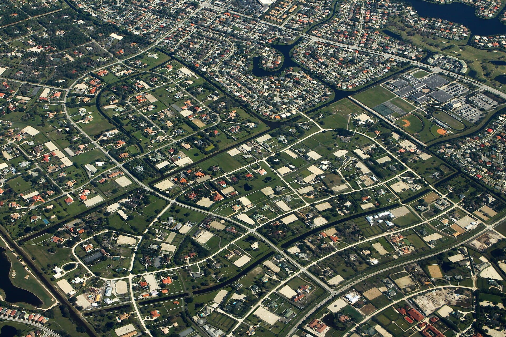
Wellington neighborhood
Wellington Aero Club
A Wellington neighborhood built around a private-use airstrip, the Wellington Aero Club Airport, with a homeowners’ association and no gate in the Village’s records.
There aren’t many places where a runway and a neighborhood share a name, and the Aero Club is one of them. Inside it is the Wellington Aero Club Airport, a private-use airfield listed with the FAA under the identifier FD38 and owned by the Wellington Aero Club property owners’ association.
If the runway is the reason you’re looking here, we’ll go further than any listing sheet will: the association’s rules for the airfield, the documents that govern it, and how a particular lot relates to it. If you’re simply drawn to the neighborhood, it’s still worth understanding the airfield before you buy, because it shapes the place.
Where it sits
The Village’s street data places the Aero Club along Aero Club Drive, Greenbriar Boulevard, Flying Cow Ranch Road and Palm Beach Point Boulevard. Its streets carry the 33414 ZIP code.
It sits outside the Equestrian Preserve Area, but the Village’s map shows it bordering Sub-area C, the part of the equestrian overlay that includes Palm Beach Point.
The homes
I haven’t found an official source that describes the homes or lot sizes here, so I’m not going to repeat the numbers that circulate online. I’d rather look at specific properties with you and pull the association’s documents for each one.
Gates and associations
The Village’s association records list the Wellington Aero Club with a homeowners’ association and no gate. The airfield itself is owned by the property owners’ association, according to the FAA record.
What’s distinctive
What sets the Aero Club apart
The runway
FAA data effective September 3, 2026, as republished by AirNav, describes one asphalt runway, 4,055 by 75 feet, with medium-intensity edge lights.
Private use
The airfield is private use, and permission is required before landing. Its owner of record is the Wellington Aero Club POA.
Next to horse country
The neighborhood borders the Equestrian Preserve’s Sub-area C without being inside it, so equestrian zoning applies next door but not here. My equestrian guide explains the preserve.
Before you buy
What I check in the Aero Club
Water and sewer
Wellington Utilities serves most of the Village, but the Village lists some communities on Palm Beach County Utilities instead. I confirm the provider for the specific address before closing.
Flood zone
FEMA’s Flood Map Service Center searches by address, and the Village issues a free Flood Zone Determination letter for any property inside Village limits. I pull both.
Association documents
Florida law requires the HOA disclosure summary before the contract is signed (s. 720.401). If it isn’t provided, the buyer may void the contract within 3 days of receiving it or before closing, whichever comes first. Where there are two association levels, I read both sets of documents.
Equestrian zoning
Wellington Aero Club is outside the Equestrian Preserve Area, so the equestrian overlay’s rules don’t govern homes here. If horses are part of your plan, my equestrian guide covers the neighborhoods inside it.
Schools
School assignment goes by address. Use the district’s Find My School lookup for any home; I don’t publish school ratings.
Buying here? Start with how I work with buyers. Thinking of selling a home in the Aero Club? Here’s how I sell. New to the area? My relocation guide covers homestead, insurance and the first 30 days.
Keep exploring
Related neighborhoods
Gated · Equestrian · Sub-area C
Palm Beach Point
Its neighbor in Sub-area C of the Equestrian Preserve.
HOA · Gated pods · Golf course
Binks Forest
Shares Aero Club Drive and Flying Cow Ranch Road in Village street data.
No HOA · Not gated · Sub-area B
Saddle Trail Park
Also along Greenbriar Boulevard, inside the Equestrian Preserve.
Or browse all 11 Wellington neighborhood guides on the Wellington page.
Let’s talk
Tell me what you’re looking for in the Aero Club and I’ll come back to you personally. Prefer to text? (561) 693-7123.
Sources
Gated status comes from the Village of Wellington’s map data, which doesn’t publish an edit date, so I confirm it in person. Road lists describe where a neighborhood sits (major roads near the Village’s boundary for it), not where its entrances are. Association details are the associations’ own descriptions.
- Village of Wellington GIS: Neighborhoods layer
- Village of Wellington GIS: Homeowner Associations layer (name and gated status)
- Village of Wellington GIS: Streets layer (municipality and ZIP)
- Village of Wellington GIS: Equestrian Preserve Area
- Village of Wellington Official Zoning Map, Ordinance 2025-01, Exhibit B
- AirNav: FD38 Wellington Aero Club (FAA data effective 2026-09-03)
All sources viewed September 27, 2026.